About
Hi, I'm Rachit — a software engineer and Computer Science graduate from MIET Meerut. I enjoy building products that live at the intersection of thoughtful web engineering and applied machine learning, from responsive frontends to ML pipelines for computer vision.
Most recently, I was a Software Development Intern at PhysiNovaLab, where I built responsive UI modules for a full-stack vending-machine platform in Next.js 14, integrated Keycloak OAuth 2.0 / OIDC authentication, and surfaced a Java Spring Boot + PostgreSQL backend as real-time dashboards. I was also an Open Market SEO Specialist at Novoguard LLC, driving organic search across 500+ location-based clinic listings.
Alongside work, I built InterviewForge, a real-time AI interview platform, and a terrain-classification model that reached 92% accuracy on satellite imagery — and I'm co-authoring research on satellite image analysis using a hybrid CNN–Transformer–LSTM framework. When I'm not shipping, I'm usually exploring a new model architecture or sharpening my DSA.
Currently working with
- TypeScript
- React.js
- Next.js
- Node.js
- FastAPI
- Python
- TensorFlow
- Docker

Rachit Singh
Meerut, India · rachit.singh.cse.2022@miet.ac.in
B.Tech CSE · MIET Meerut ’26
Experience
Feb 2026 — Apr 2026 Software Development Intern · PhysiNovaLab Pvt Ltd
Remote — Bangalore, India
- Built responsive UI modules for a full-stack vending-machine platform in Next.js 14 (App Router), leveraging SSR and dynamic routing to cut page load times across inventory and transaction views.
- Integrated Keycloak OAuth 2.0 / OIDC authentication with protected route guards and secure session and token management across the entire application.
- Consumed REST APIs from a Java Spring Boot backend, surfacing PostgreSQL data models as real-time inventory and transaction-management dashboards.
- Next.js 14
- Keycloak
- OAuth 2.0
- Spring Boot
- PostgreSQL
Nov 2025 — Apr 2026 Open Market SEO Specialist · Novoguard LLC · Verified Care
Remote — Sheridan, WY, USA
- Own organic search strategy for a clinic discovery and appointment-booking platform — keyword research, competitor benchmarking, and SERP gap analysis across the US healthcare open market.
- Executed on-page and technical SEO (metadata, LocalBusiness schema markup, sitemap and internal-linking improvements) to strengthen indexation and visibility of 500+ location-based clinic listing pages.
- Partnered with engineering to improve crawlability and Core Web Vitals on server-rendered pages, tracking organic performance via Google Search Console and Analytics.
- Technical SEO
- Schema Markup
- Search Console
- Core Web Vitals
- GA4
2025 — Apr 2026 Research Assistant · MIET Meerut
Satellite Imagery Environmental Monitoring
- Co-authoring an IEEE-formatted paper on multi-sensor satellite image analysis using a hybrid CNN–Transformer–LSTM framework for environmental monitoring.
- Leading model design and preprocessing-pipeline development alongside peers and a faculty supervisor.
- Python
- TensorFlow
- CNN
- Transformers
- LSTM
2022 — 2026 B.Tech, Computer Science Engineering · Meerut Institute of Engineering & Technology
Meerut, India · Graduated
- Relevant coursework: Data Structures & Algorithms, Machine Learning, Database Management Systems, and Computer Networks.
- DSA
- Machine Learning
- DBMS
- Networks
Certifications
CRUD Operations & Advanced Schema Design
MongoDB University
Tools of the Trade: Linux and SQL
Coursera · Google
Projects
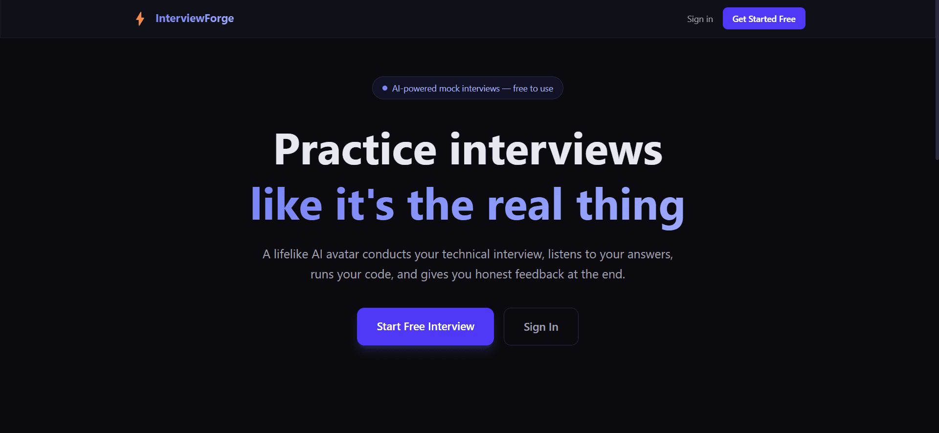
InterviewForge
AI Avatar Interview Platform
A real-time AI mock-interview platform with an animated avatar interviewer powered by Whisper (STT) and ElevenLabs (TTS). An adaptive LLM question engine covers DSA, system design, and behavioral rounds, backed by a WebSocket session layer and Celery + Redis workers. Includes an in-browser Monaco editor running inside a resource-limited Docker sandbox with LLM rubric scoring.
- Next.js
- TypeScript
- FastAPI
- PostgreSQL
- Docker
- WebSocket
- Redis
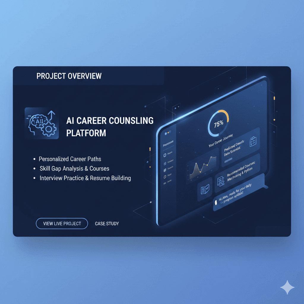
Prospera AI
AI Career-Counseling Platform
An AI-powered career-counseling platform featuring intelligent recommendation algorithms and a personalized chatbot powered by the Gemini API. Architected for high concurrency — supporting 1,000+ simultaneous users via Next.js server-side rendering — with a UI tuned for student career exploration.
- Next.js
- Gemini API
- Tailwind CSS
- TypeScript
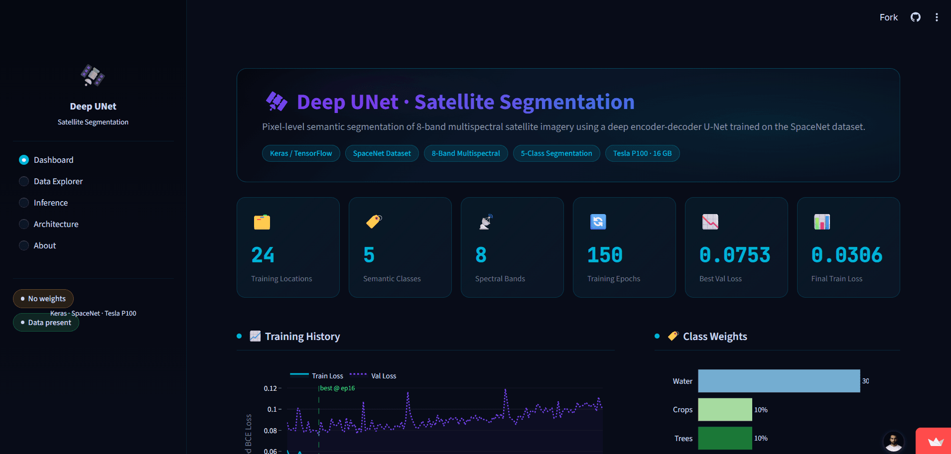
Satellite Image Segmentation
Deep Learning · Computer Vision
A terrain-classification system leveraging CNN and U-Net architectures for satellite imagery, achieving 92% accuracy across diverse geographical regions. Built an automated preprocessing and inference pipeline with data augmentation and transfer learning for robust, generalizable performance.
- Python
- TensorFlow
- U-Net
- CNN
- Transfer Learning
Skills
Languages
- Python
- Java
- JavaScript
- TypeScript
- SQL
- HTML / CSS
Frameworks & Libraries
- React.js
- Next.js
- Node.js
- FastAPI
- TensorFlow
- Keras
- OpenCV
Deep Learning & CV
- CNN
- U-Net
- Transformer Architectures
- Transfer Learning
Data Science
- Pandas
- NumPy
- Scikit-Learn
- Matplotlib
- Tableau
Databases & APIs
- MySQL
- MongoDB
- Google Analytics API
- Facebook Ads API
Tools & DevOps
- Git
- Docker
- Redis
- Celery
- VS Code
- Google Colab
- Arduino IDE
What's next?
Get in touch
I'm actively looking for software engineering and AI/ML roles, and I'm always happy to talk about interesting problems. My inbox is open — I'll get back to you quickly.